
District GIS launch Muskoka Votes map and Forest Fire and flooding maps on web mapping portal
District Planning and Development staff member, Stuart Paul, presented three new maps for the Muskoka GeoHub in the May 16th District of Muskoka Council meeting, including the Muskoka Flood 2019, Muskoka Votes, and Forest Fire Preparedness.
The GeoHub is the District’s Geographic Information System (GIS) - an online web mapping portal that allows you to access local information.
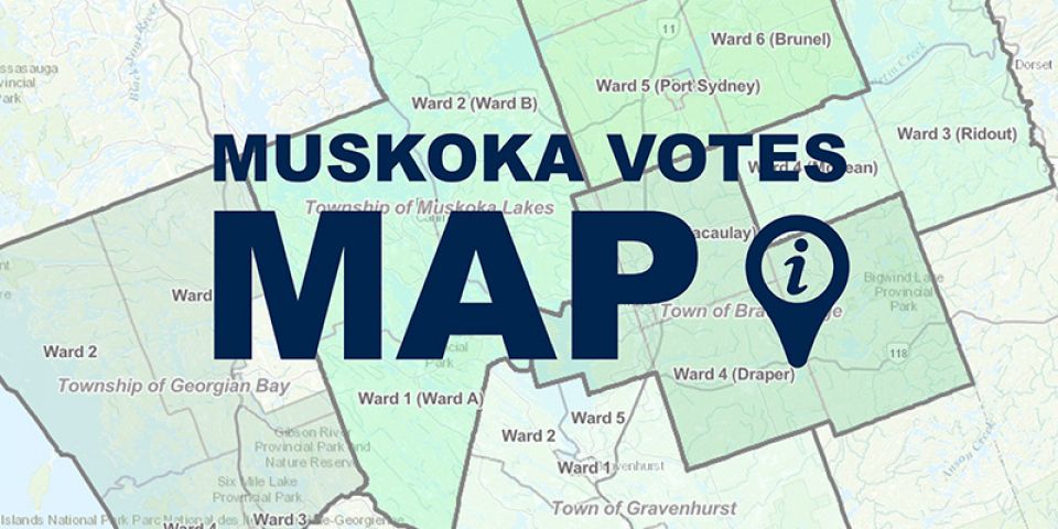
For instance, the Muskoka Votes is an interactive story map that highlights municipal council and the candidates that register in your area for elections, such as the upcoming one on October 24th.
The Forrest Fire Preparedness map shows locations of current forest fires and smoke and provides information about what to do in case of an emergency.
Council member, Peter Cooper praised the GeoHub, saying, “The zoning and area maps were helpful and critical in 2019-2020 with the high water levels – up to 1 ½ feet high – from a planning perspective.”
Other GIS information includes past events, shoreline videos, bus routes, zoning for Towns and Townships, air pictures of Muskoka, algae monitoring, and a wealth of other regional information.
You can learn more about the GeoHub on the District’s website, or visit: https://map.muskoka.on.ca/.